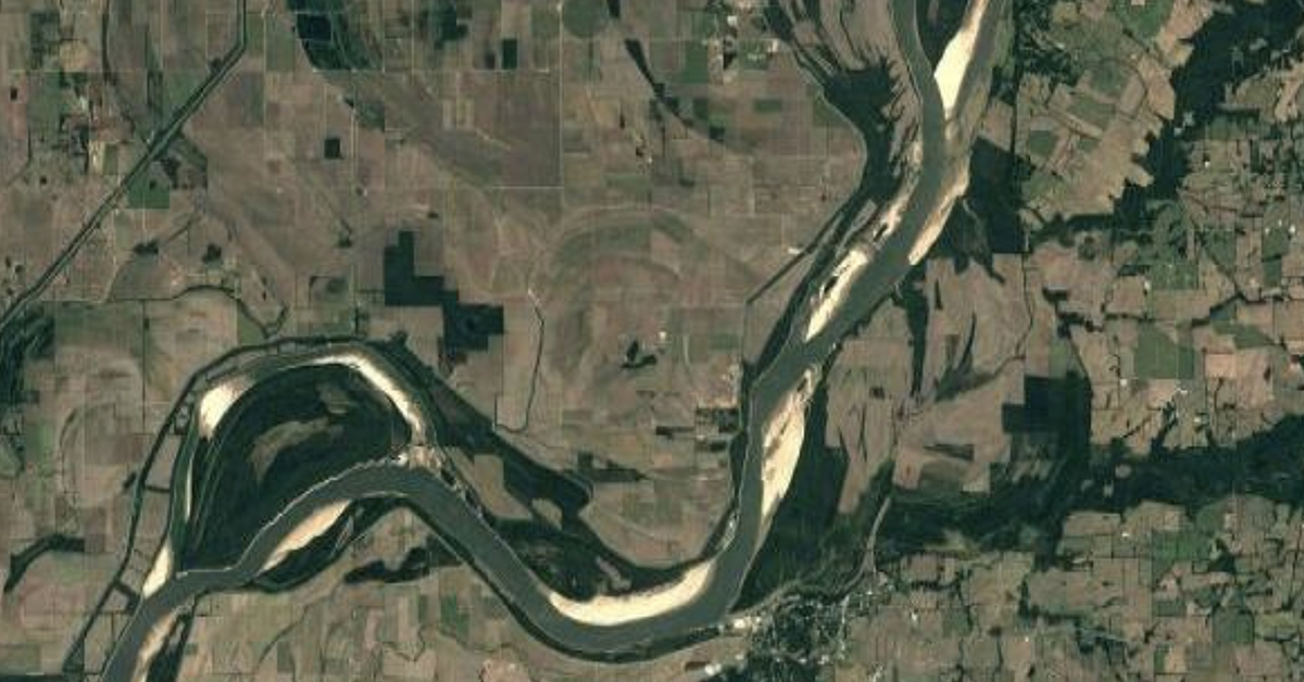
When Michael Lamport describes the Hickman Hard Point, he uses an artificial intelligence-generated photo of rock pinnacles protruding from the riverbed and an underwater waterfall plunging into a 120-foot-deep hole to explain it.
The erosion-resistant geologic feature is located at Lower Mississippi Mile 922, at Hickman, Ky. As low-water conditions have become more frequent, it has become a recurrent cause of navigation issues, including groundings, contact with the hard point and adjacent point bar and vessel rescues, according to Lamport, senior hydraulic engineer for the Memphis Engineer District.
“The Coast Guard has nicknamed this the can opener,” he said. “When barges hit it, it starts to rip holes in them.”
During the Smart Rivers 2025 conference sponsored by PIANC USA September 8-12 in Memphis, Tenn., Lamport presented information in a session titled “The Hickman Hard Point: Underwater Waterfalls and Changed Navigation Risk.”
The rock pinnacles at the location reach 25 to 30 feet above the riverbed, which is also solid rock. So far, scientists haven’t been able to determine as much as they would like about what the rock is made of. When they tried to use acrylic bores to punch holes into the riverbed to collect samples in 2018, it broke them.
“As they pushed down, it lifted the barge up,” Lamport said.
The small amount of material that was scraped from the riverbed contains no silt or clay, unlike surrounding regions. Instead, it appears to be quartzite pebbles cemented by iron oxide, essentially adhered by rust.
The material has become exposed on the riverbed across nearly half the width of the navigation channel and cannot be dredged.
That means that under low-water conditions, it becomes impassible. The Corps of Engineers instead dredges across the channel on the right descending bank, where there is still a muddy bottom, so that traffic can transition to that side once the Cairo, Ill., gauge drops to 7 feet. That also restricts the channel width to a maximum of 600 feet, which can cause restrictions such as a maximum width of five barges and daylight transit only southbound in that area. Eventually, it silts back in.
Thanks to some timely rain, no restrictions are currently in place at Hickman, although mariners are keeping a close eye on the river gauges. The dredge Potter arrived September 15 and was expected to remain until September 26, dredging the channel along the right descending bank in case the river continues to drop in the coming weeks, as is forecast.
Donnie Williams, chairman of the Lower Mississippi River Committee, was born and raised in Hickman. He called the area treacherous, going so far as to say he believes it is the most dangerous naturally occurring feature on the Lower Mississippi.
“Whenever you’re coming south, those rocks are dead in the middle of the river,” he said. “There are also some rock hard points on the left descending side, so whenever you’re coming down the river, you have to come down by the Hickman Harbor, then make a hard starboard turn all the way out to near the Missouri side and go around, near the sandbar.”
The draft caused by what is essentially an underwater waterfall dropping into the 120-foot scour hole, makes it even worse.
“You’re crossing sideways in the current, and it’s pushing you toward those rocks,” Williams said.
The problem doesn’t appear to be going away without human intervention. Lamport said hydrologic modeling indicates it would take more than two times the flow of what the Mississippi River is capable of to naturally erode the outcroppings.
Blasting the pinnacles—as was done a few years ago in a similar problem area in Thebes, Ill.,—may not be the answer, either. Because Hickman is just upstream of a portion of the riverbed that has been degraded by large-scale channelization and cutoff projects dating back to the 1940s, it is possible that explosive blasting or other interventions could expose more problem bedrock just upstream.
Instead, the first step is to gather more information, Lamport said. The Corps of Engineers has partnered with the U.S. Geological Survey to perform airborne electromagnetic surveying to help determine how thick the bedrock is and what is under it. Additionally, multidimensional hydraulic modeling is being used to simulate current conditions and assess future scenarios. Finally, the Corps is seeking funding to use powerful sonic drills to attempt to gather more rock samples. The objective, Lamport said, is to improve navigation safety and protect the long-term integrity not only at Hickman but potentially across the middle Mississippi and Ohio rivers as well.


