WIMOs Session Teaches About Weather’s Impact On Nav Industry
With many people focused in past months on the historic low-water conditions along the Lower Mississippi River, the west Kentucky chapter of Women in Maritime Operations (WIMOs) held an educational lunch for members January 27 to talk about the weather and its impacts on the industry.
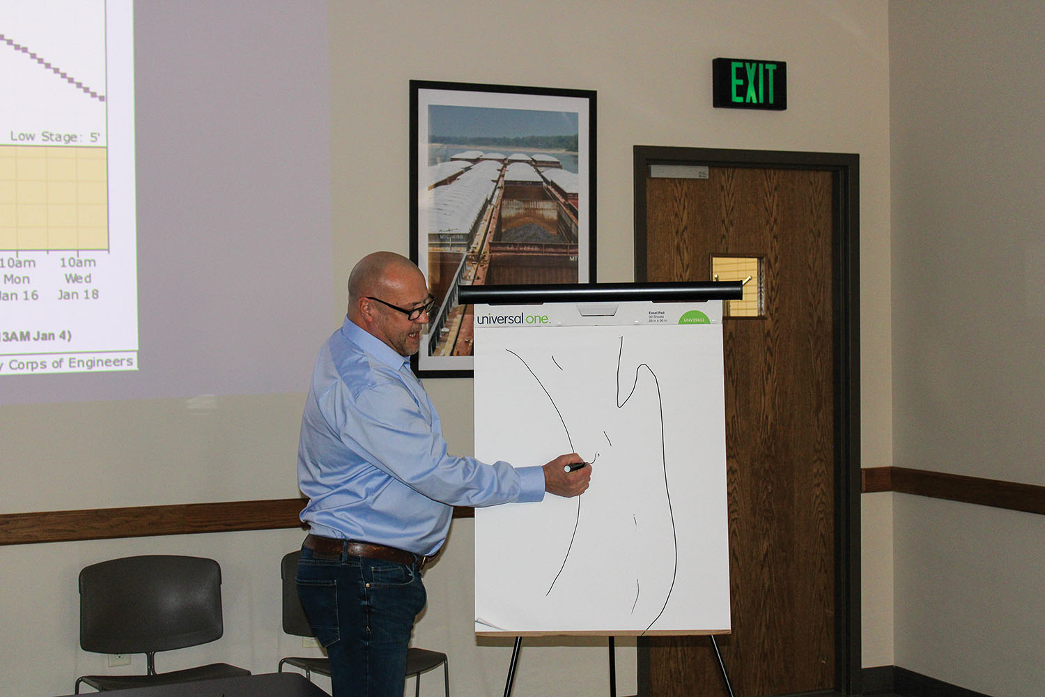
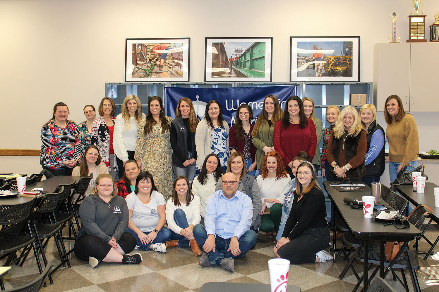
Part of the organization’s popular “lunch and learn series,” the session was titled “Understanding River Stages, Hydrographs and Weather.” The guest speaker was Gary Frayser, vice president of operations and navigation for Marquette Transportation. The session drew in more than two dozen women to Marquette’s training room in Paducah, Ky.
While locks and dams help maintain navigability along the length of the inland river system, regular rainfall is also necessary, Frayser said.
“We need rain somewhere in the system every two weeks,” he said. If we don’t get it, things start to go south.”
Frayser said when he looks at forecasts to determine the likelihood of rain, he pays special attention to what is happening in Utah, Colorado, Arizona and New Mexico since weather systems in the United States are most likely to travel west to east.
The National Weather Service releases hydrographic information three times daily, showing forecasts of river levels at various gages in the system. Frayser showed examples of rising, falling and steady water level forecasts.
Thinking One Week Ahead
How deep the water is on the system plays a major role in controlling how heavily barges can be loaded with the products they carry.
To ensure efficiency, “We want to have the maximum draft we safely can and the maximum amount of barges per boat that we safely can,” Frayser said.
Those determining the draft each company uses must keep in mind not only what the current weather forecast is but what the forecast is for where a barge is going and how long it will take to get there, Frayser said. In many cases, he said, that means looking at the hydrograph, the current water stage and the weather forecast for a week into the future.
He gave an example of how companies think, using one of Marquette’s vessels as an example.
“How much water is going to be in St. Louis when the Jacob Michael Eckstein gets there?” he said. “Is he going to be able to get those barges out of town before the bottom drops out?”
Top Weather Concerns
In general, he said, industry’s top low-water concerns tend to be shoaling, the need for dredging and buoys that must be moved closer together as the channel narrows.
In high water, swift currents, bridge clearance, drift and unrecovered buoys that now may be covered by water are key issues.
Making these issues more complicated are a limited number of available dredges and buoy tenders in the system, Frayser said.
When river levels fall above or below pre-determined stages, the Waterways Action Plan, created in a partnership between the navigation industry, the Corps of Engineers and the Coast Guard, indicates the steps that companies should take to minimize risk. That could include restrictions on drafts and tow sizes and determinations about how much horsepower a vessel needs per barge.
No ‘One Size Fits All’ Approach
While the Waterways Action Plan is meant to bring a simplified approach to risk minimization, Frayser cautioned, “Every high water is different. Every low water is different.”
Part of the reason why is that where flooding rains or droughts impact the system, how much water is in the system already, the time of year and the expected duration all help to determine the impact of a specific high-water or low-water event.
Because of that, he said, they must be approached differently.
An example Frayser gave of how Marquette addressed the recent low-water period was that the company made the determination to keep certain boats in the same stretches of the river to familiarize the crews with the conditions in that particular part of the river. That helped them to pay particular attention in areas they already knew were becoming a problem because they had already seen it first-hand, Frayser said.
“It really worked out well for us,” he said.
Groups like the Lower Mississippi River Committee (LOMARC), an association of companies and organizations that are stakeholders in the commercial industry, are also key in making sure that trouble spots are quickly addressed in low- or high-water events to keep commercial navigation moving as efficiently as possible, helping to ensure safety and to save time and money transporting goods on the river, Frayser said.
Whitney Cruse, president of the west Kentucky chapter of WIMOs, said chapter leaders wanted to have the education session because weather plays such a huge role in maritime companies’ decisions about how they operate. Many of the women in the organization may work in office settings such as human resources or accounting and only have a passing familiarity with operations, so the session was a good chance for them to learn and also to ask questions in a comfortable environment, supported by other women, she said.
WIMOs chapters around the country work to educate, engage and elevate their members through programs such as educational workshops, webinars and tours, social networking opportunities, representation at industry events and mentoring. For more information, visit www.wimos.org.
Caption for top photo: Gary Frayser, vice president of operations and navigation for Marquette Transportation, addresses a lunch and learn session hosted by the west Kentucky chapter of Women in Maritime Operations (WIMOs). (Photo by Shelley Byrne)