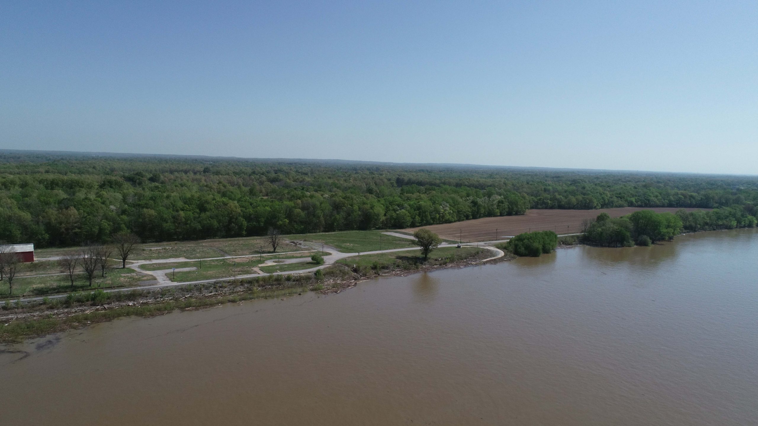
Following a seven-year effort, the Massac-Metropolis Port District has taken possession of the former Ohio River Locks and Dam 52 site in Brookport, Ill., and is moving forward with plans to develop it into a riverport.
Scott Garrett, the port district’s executive director, said the board voted in 2018 to pursue acquiring the site. The Water Resources Development Act of 2020 required offering the property for sale to the district. The Corps of Engineers required the contractor, C.J. Mahan Construction Company, to complete demolition of the lock and dam. The Corps then needed to close out the contract with all associated legalities before the sale contract could be drawn up and executed.
The port district took possession of the property, which consists of 46 acres, July 22, with the Massac County Commission appropriating $210,000 in June for the sale and $45,000 for inspections and studies.
The lock and dam complex opened in 1929 and was well past its design lifespan when it and neighboring Locks and Dam 53 at Grand Chain, Ill., were replaced by the new Olmsted Locks and Dam at Ohio River Mile 964.4 in August 2018. Demolition of the concrete structures in Brookport began in 2019, with physical work being completed there in February 2023, according to the Corps of Engineers.
Garrett credited the leadership of port board chair Richard Kruger, along with the dedicated support of the other board members, in completing the sale of the property to the port district. He added that the board has been speaking with the Paducah-McCracken County Riverport Authority, which is just across the river, about collaborative efforts moving forward. The port district is part of the regional Paducah-McCracken County Metropolitan Planning Organization, which is dedicated to promoting economic development opportunities on both sides of the river.
Additionally, he said, the board has spoken to some terminal operators about the possibility of shipping agricultural products or building materials from the site. The port district is interested in serving as a landlord for development, but not in operating its own terminal.
“We had strong support in both the Kentucky and the Illinois [legislative] delegations because they both appreciated this would be good for the region,” Garrett said.
The district has partnered with the City of Brookport and neighboring private landowners to offer 16,300 feet of river frontage “with hundreds of acres behind it” for potential development through a long-term lease, he said. The property available for development begins at the Irvin Cobb (a.k.a., “Brookport”) Bridge, which connects Brookport and Paducah via U.S. 45 at Ohio River Mile 937.3, and it ends at the mouth of Seven Mile Creek at Mile 940.4.
The site includes a metal building of about 40 by 90 feet on a heavy-duty concrete slab, located on a berm with an elevation sufficient to protect it from most high-water conditions, Garrett said.
He said he thinks the site is ahead of many other riverport sites since both environmental and archeological studies are complete. Additionally, the site already has an access road and utilities, which will soon include new fiberoptic cabling.
The Illinois Department of Transportation is funding a multi-phase feasibility study for how best to use the acreage, with Bacon Farmer Workman/Marcum Engineering and Consulting of Paducah contracted to complete it. Study results are expected by the end of the year, Garrett said.
The next phase of the planned development includes upgrading an access road through Brookport off U.S. 45 to commercial truck standards, both widening and strengthening what is currently a paved, two-lane road. Eventually, Garrett said, construction of 0.6 miles of new road and upgrading about 2 miles of existing roads could provide an additional access that is three miles closer to Interstate 24.


