The Rock Island Engineer District and the U.S. Geological Survey, in partnership with others, released a report on June 22 titled “Ecological Status and Trends of the Upper Mississippi… Read More
U.S. Geological Survey
Federal officials will not return to Kentucky to perform a seasonal tracking and harvest of Asian carp after a request by a county official. Lyon County Judge-Executive Wade… Read More
A Kentucky county leader is asking U.S. Sen. Minority Leader Mitch McConnell to prevent the U.S. Geological Survey (USGS) from bringing an experimental type of Asian carp removal back… Read More
Preliminary test results suggest a bio-acoustic fish fence (BAFF) installed at Barkley Dam in November 2019 is deterring the movement of Asian carp from the Cumberland River into Lake… Read More
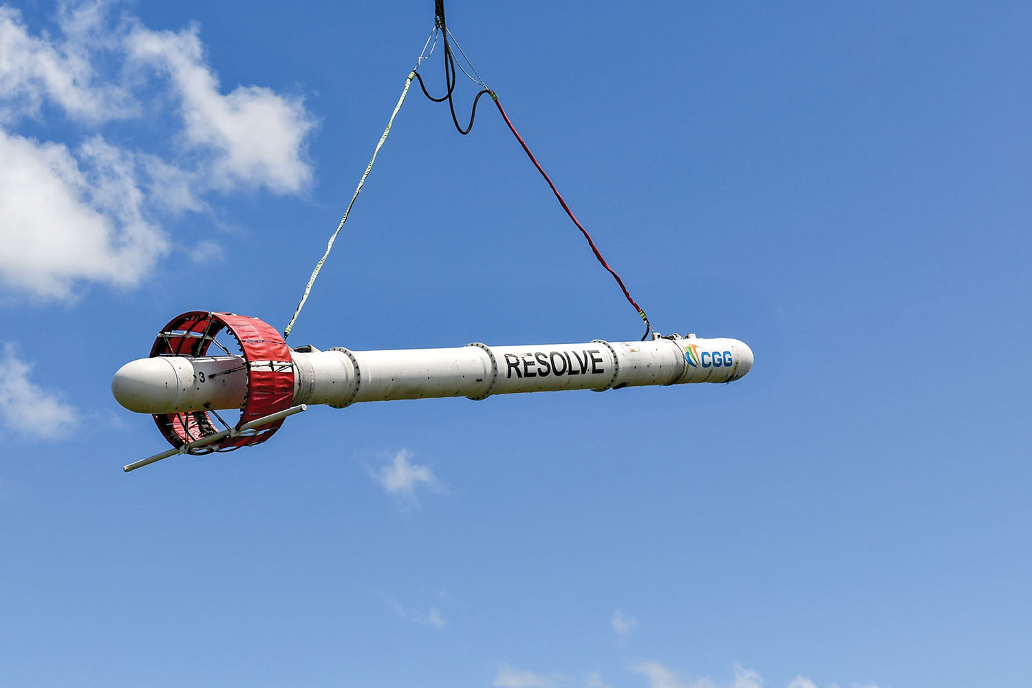
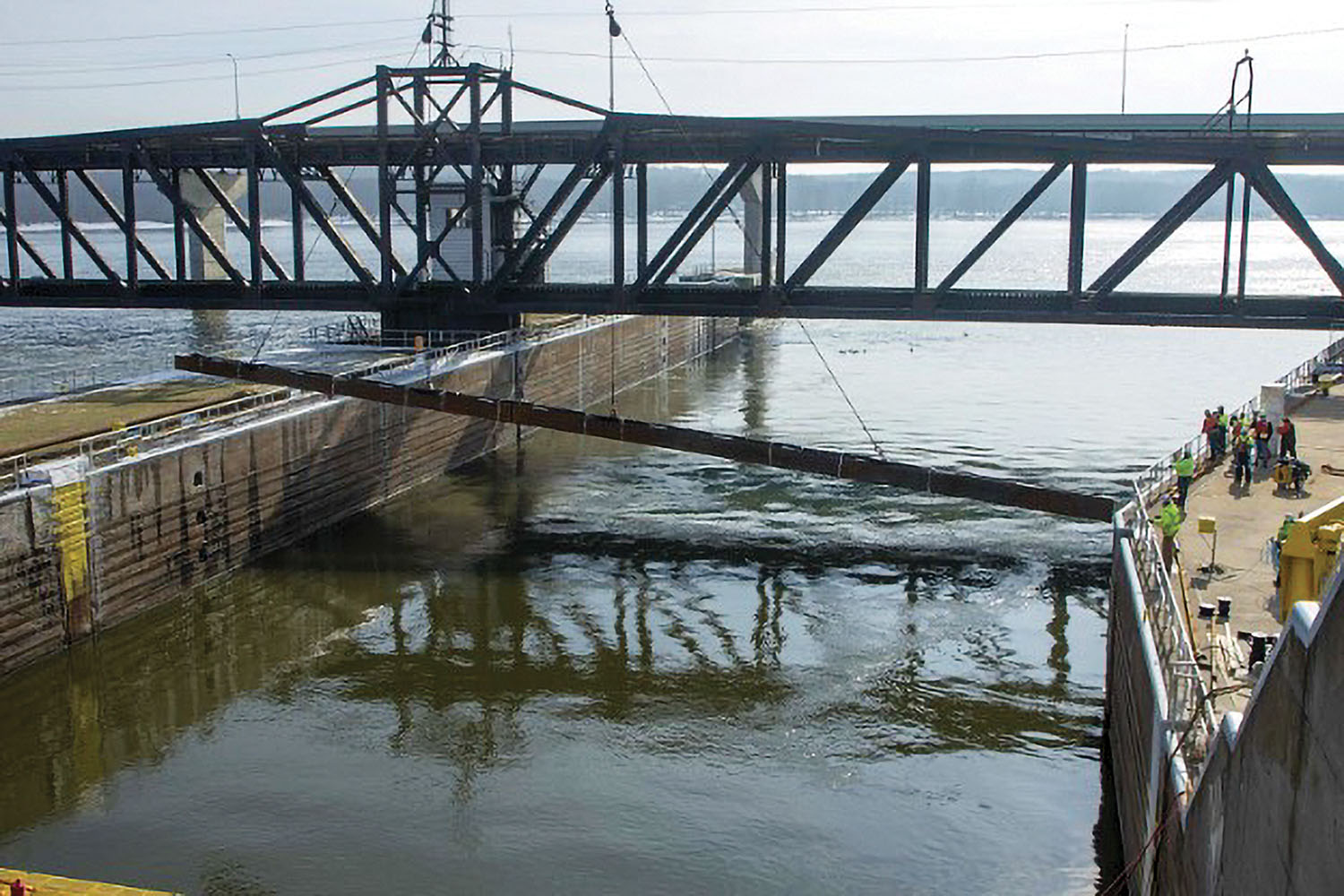
The U.S. Geological Survey (USGS), the U.S. Army Engineer Research and Development Center (ERDC) and partners installed a temporary, experimental underwater Acoustic Deterrent System, or uADS, at Mississippi… Read More
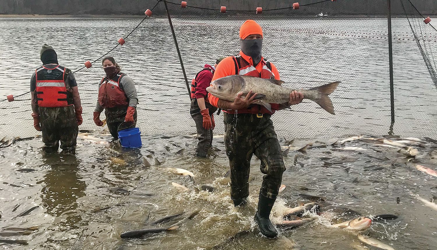
A recent research project in Kentucky Lake was designed to test how Asian carp respond to harvest methods as well as to get a better idea of the fish… Read More
As part of efforts to prevent the spread of invasive carp, the Minnesota Department of Natural Resources announced October 22 that four silver carp were recently captured, fitted with… Read More
The National Oceanic and Atmospheric Administration (NOAA) is forecasting the Gulf of Mexico hypoxic area or “dead zone”—an area of low to no oxygen that can kill fish… Read More
“We have never in our record had these sustained high flows over the month of January,” said Dan Fasching, St. Paul District water manager for the Upper Mississippi River. Read More
Mayors who are part of the Mississippi River Cities & Towns Initiative (MRCTI), along with representatives from the U.S. Geological Survey (USGS), U.S. Army Corps of Engineers, the Maritime Administration… Read More


